| P number: | P217422 |
|---|---|
| Old photograph number: | C03858 |
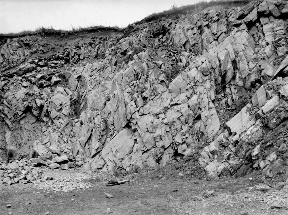
| Caption: | Limehillock Quarry, 2.0 km. NE of Grange Station, 8.0 km. ENE of Keith. |
| Description: | Limehillock Quarry, 2.0 km. NE of Grange Station, 8.0 km. ENE of Keith. Close-up of C3857. |
| Date taken: | Mon Jan 01 00:00:00 BST 1945 |
| Photographer: | Fisher, W.D. |
| Copyright statement: | Crown |
| X longitude/easting: | 351500 |
| Y latitude/northing: | 852500 |
| Coordinate reference system, ESPG code: | 27700 (OSGB 1936 / British National Grid) |
| Orientation: | Landscape |
| Size: | 300.48 KB; 1000 x 748 pixels; 85 x 63 mm (print at 300 DPI); 265 x 198 mm (screen at 96 DPI); |
| Average Rating: | Not yet rated |
| Categories: | Unsorted Images, Geoscience subjects/ Economic geology/ Cement and lime, limestone quarries and chalk pits, Geoscience subjects/ Economic geology/ Building stones, limestone |
Loading...
Loading...
Reviews
There is currently no feedback