| P number: | P1015886 |
|---|---|
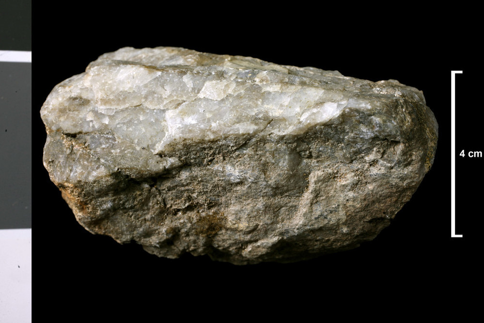
| Caption: | Allt a' Choire Ghlais from confluence with tributary from north, downstream to confluence with Allt Gad Ruigh Mhoutain, 4.00 - 3.57 miles upstream from confluence of Kildonan Burn with Helmsdale River. . |
| Description: | Collection No: SSC 15522. SampleNo. V845. Collector: A F Macconochie |
| Copyright statement: | UKRI |
| X longitude/easting: | 293920 |
| Y latitude/northing: | 926040 |
| Coordinate reference system, ESPG code: | 27700 (OSGB 1936 / British National Grid) |
| Orientation: | Landscape |
| Size: | 149.76 KB; 999 x 666 pixels; 85 x 56 mm (print at 300 DPI); 264 x 176 mm (screen at 96 DPI); |
| Average Rating: | Not yet rated |
| Categories: | Geoscience subjects/ Rocks/ Scotland/ County/ Sutherlandshire, Geoscience subjects/ Rocks/ Scotland/ Geological one-inch sheet/ Sheet 109 Achentoul |
| Collection ID number: | Collection No: SSC 15522. |
Loading...
Loading...
Reviews
There is currently no feedback