| P number: | P207859 |
|---|---|
| Old photograph number: | A07937 |
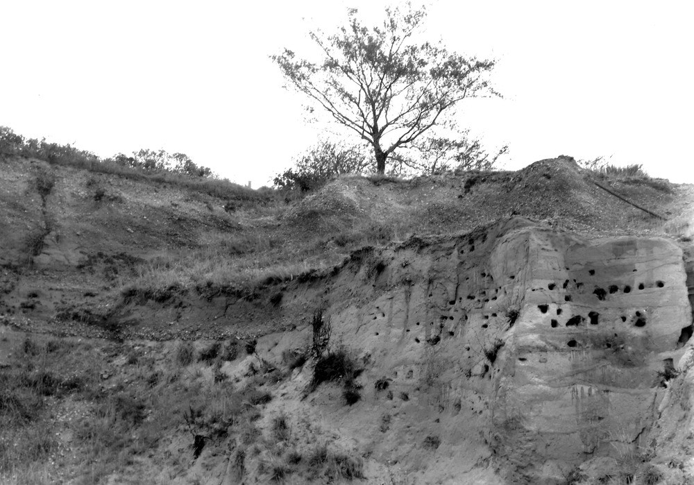
| Caption: | Sand-pit, 300 yd. NW of Old Manor House. Looking NW. |
| Description: | Sand-pit, 300 yd. NW of Old Manor House. Looking NW. Head gravel on Woolwich Beds. |
| Date taken: | Sun Sep 01 00:00:00 BST 1946 |
| Photographer: | Rhodes, J. |
| Copyright statement: | Crown |
| X longitude/easting: | 620500 |
| Y latitude/northing: | 165500 |
| Coordinate reference system, ESPG code: | 27700 (OSGB 1936 / British National Grid) |
| Orientation: | Landscape |
| Size: | 212.98 KB; 1000 x 699 pixels; 85 x 59 mm (print at 300 DPI); 265 x 185 mm (screen at 96 DPI); |
| Average Rating: | |
| Categories: | Unsorted Images |
Loading...
Loading...
Reviews
Peter Knowles - 12/05/2023
![]()
![]()
![]()
![]()
![]()
Ford Manor Gravel Pit
These deposits mapped as head are actually stratified sands and gravels of the 100ft terrace of the east Kent river Stour, a number of Palaeoliths were found in these gravels in the period 1920 -1950 by the co-founder of the Heren Bay Museum Dr Tom Armstrong Bowes. The terrace gravels here are bedded on the Eocene Thanet Sands.